

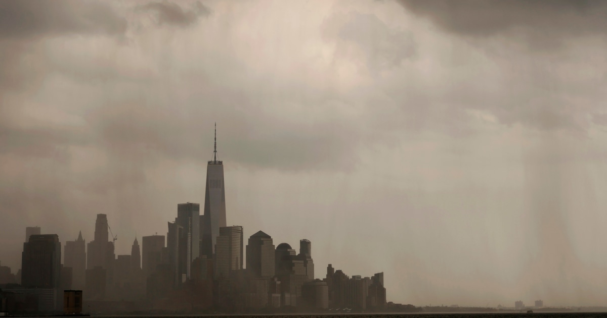
Severe thunderstorms were expected across swaths of the eastern US on Monday, as the Southwest continued to be sweltering under a relentless heat wave through the long July 4th weekend.
Scattered showers and thunderstorms were expected across much of the eastern US, with a chance of flash flooding in some areas from the lower Great Lakes to southern New England, the National Weather Service said in an update. on Monday.
There was also a reduced chance of heavy rain and thunderstorms as far south as the interior southeast and deep south, the weather service said.
Meanwhile, a cold front moving slowly into the Ohio Valley was expected to bring drier, cooler air toward the East Coast, he said.
“The chance of showers and thunderstorms will generally decrease in the eastern US on Independence Day as the low pressure system is forecast to weaken further,” the weather service said.

Severe weather slowed down some of the world’s fastest motorsport athletes over the weekend, with NASCAR debuts Sunday in Chicago after an overnight rain delay.
The NASCAR Cup Series got off to a late start on Sunday after torrential rains delayed its scheduled start on Saturday.
Chicago wasn’t the only area affected, as severe weather affected states from New York and Pennsylvania to Arkansas, with flooding reported in Clinton County, New York.
In the south, meanwhile, the heat wave that has plagued the region for weeks was expected to become “less oppressive” on Monday, before heading further south on July 4, the weather service said.
“However, heat indices could approach 105-110 degrees with high temperatures in the mid-90s, which can be dangerous if you spend a lot of time outdoors,” the weather service warned.
“In addition, heat will be the top story across the desert southwest and west coast today and Tuesday,” he added, with triple-digit highs forecast in California’s Central Valley region and desert southwest.
Several daily records for high temperatures could be thrown into question on Monday, the weather service said.


